Works
CWS Surveyors have demonstrated extensive expertise in diverse sectors. They have played a significant role in surveying services for large-scale Tier 1 projects such as Gas Liquification Plants and Mining Infrastructure constructions. Additionally, their involvement in sub-divisions, highway and pipeline construction, civil and general construction projects, along with their specialisation in survey-grade aerial mapping, showcases their commitment to delivering high-quality services across Queensland and the Northern Territory.
Oil & Gas
-
Setout and survey managment of stick built and modular structure placements
-
Setout and conformance of civil and concrete works including foundations, stands, skids, pedestals, plinths and hold-down bolts
-
Establishment and management of primary, secondary and tertiary project survey control and monitoring networks
-
Storage tank hydrostatic surveys and monitoring
-
Mechanical setout for equipment placed including primary compressors, turbines, crane rails, verticle flares and numerous complex vesslels
-
Management of construction, as constructed and survey conformance procedures and reporting for all works completed on site
CWS Surveyors have had extensive experience in the provision of surveying services to the gas export industry. Primarily in the provision of surveying services for detailed large-scale gas liquification plant and supporting plant construction projects.
CWS Surveyors has been involved in all stages of construction on these large-scale facilities and has successfully provided the following services;
Mining & related plant
CWS Surveyors provides extensive surveying support to the mining industry in QLD and throughout the Northern Territory. Services are primarily focused on the provision of high level engineering and construction surveying on mine-related development, upgrade and expansion projects.
We are very proud of the long-term relationships we have built with our mining clients and of the high-grade services we continue to provide.
Over the years staff have been involved in numerous mining upgrade and development works providing full surveying support on the following;
-
Providing high resolution Aerial imagery
Produce survey grade topographic maps
Complete asset inspections
Multispectral and thermal imagery
-
The collection, collaboration of permenant and temporary infrastructure.
Mapping of underground structures including buried services
Site topographic models for design
-
Tails drying facility
New large-scale plant construction
Tailings dam construction
Airstrip & associated infrastructure construction
Haul Road construction
Underground ventilation riser and fan construction
Large scale civil construction surface drainage surveys, assessment & design
Underground Construction surveying
-
Vegetation clearing Surveys
Rehabilitaion regrowth surveys via the use of multispectural imagery
Water level surveys
-
Processing Mill Upgrade and duplication works
Numerous Plant upgrade and shutdown projects
Numerous mill and mining infrastructure upgrade works
RIM and ROM pad upgrade works
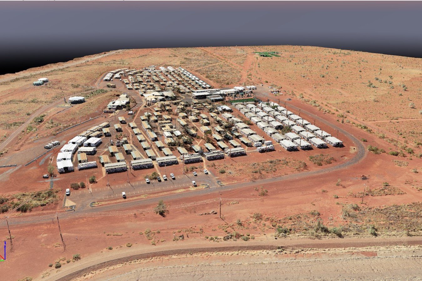
Camp upgrade works and new camp construction works
-
Open Pit Wall Monitoring
Plant structural movement surveys
Subsidence monitoring
Tailings dam surveys
Erosion monitoring
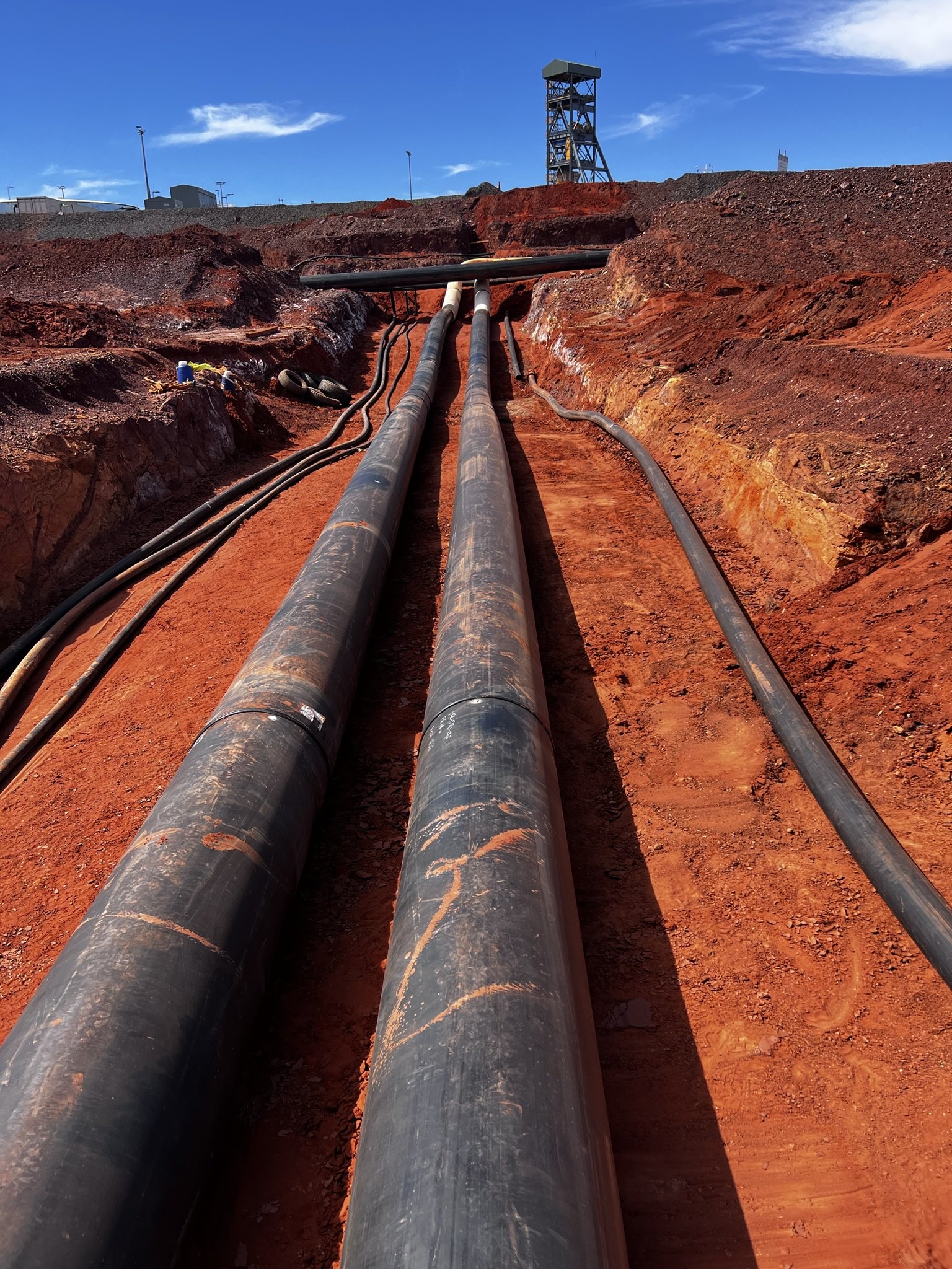
Pipeline, Directional drilling & Associated Infrastructure
CWS Surveyors have been involved on several large-scale pipeline construction projects in both urban and rural environments across Queensland and the Northern Territory. In addition to standard open trench pipelaying works CWS Surveyors has detailed experience working with directional drillers on several high-profile projects.
Pipeline & related infrastructure surveying works include;
-
Surveying setout of pipeline alignment and ROW for large-scale Water, Gas and Sewerage Projects
Setout drill alignments and beacon guides for horizontally drilled sections of pipe
Survey setout and monitoring for directionally drilled shore crossing pipeline projects including hydrographic surveying works for design
Setout of all associated infrastructure including pump stations, holding tanks and compressor stations
-
As-built conformance of laid pipe and associated infrastructure, compilation and provision of as-built submittals in suitable ADAC formats
Monitoring of existing infrastructure for settlement along and adjoining the ROW
Provide survey support in the monitoring of direction drilling and pipe placement through built up urban environments
Civil & General Construction
As well as our mining and plant construction works CWS Surveyors has been extensively involved in large and small scale civil and general construction projects across Queensland and the Northern Territory.
Civil and general works include;
-
Residential, commercial and industrial construction surveying
High-rise construction setout and monitoring
Subdivision engineering and construction surveys
Large and small-scale feature, detail and as-constructed surveys
-
Highway and road construction and upgrade surveying
Tunneling roadway infrastructure surveys
Bulk earthworks projects
Infrastructure network surveying
Aerodrome upgrade works, including runway re-surfacing
Aerial Surveying
As well as our primary engineering surveying function CWS Surveyors also specialise in the provision of survey grade aerial surveying data. Operating a fleet of small and mid-sized UAV platforms with the latest high-grade sensors we provide high resolution imagery, survey grade topographic data, high resolution multi spectral data and thermal imagery for all scale of project.
Aerial surveying capabilities include;
-
Large scale photogrammetric surveys providing survey grade topographic data
Provision of advanced thermal imagery
Provision of high-resolution multispectral imagery, currently operating the top of the line Micasence Altum sensor
Aerial photography
-
Asset inspection
Pipeline and road corridor surveying
Large scale works using proven extended range UAV systems
-
Survey grade topograchic models
Water shed and drainage analysis
Long and cross section generation
-
Construction progress volumes
Stockpile and material volumes
Surface analysis to design
Waste material tracking


